Congo Basin weather sheets rescued from paper show hot days nearly doubled by the 1980s
Over 9,000 handwritten sheets from 37 Congolese stations fill a gap the IPCC flagged: Central Africa's hot extremes had never been confirmed.
OddBrief EditorialAI-assisted, human-reviewed
 Science
Key facts
- Who
- Vrije Universiteit Brussel, INERA and Ghent University
- What
- over 9,000 handwritten sheets from 37 DRC stations digitized into 1 million readings
- Finding
- hot days rose from about 3 to about 5 a year between the 1960s and 1980s
- Gap
- Central Africa was one of the few regions where the IPCC could not confirm more hot extremes
Researchers led by Vrije Universiteit Brussel have turned more than 9,000 handwritten weather sheets from the Democratic Republic of the Congo into over one million daily readings. The data, published on October 12 in Earth System Dynamics, show the Congo Basin warming since the 1960s, with hot days close to doubling between the first and last decades of the 1961 to 1990 record.
The finding matters because Central Africa has been a blank spot. Senior author Wim Thiery points out that the latest IPCC assessment could not establish whether hot extremes were rising there, a status shared by only a handful of regions, largely because so few old observations had been digitized.
Shelves of paper in Yangambi
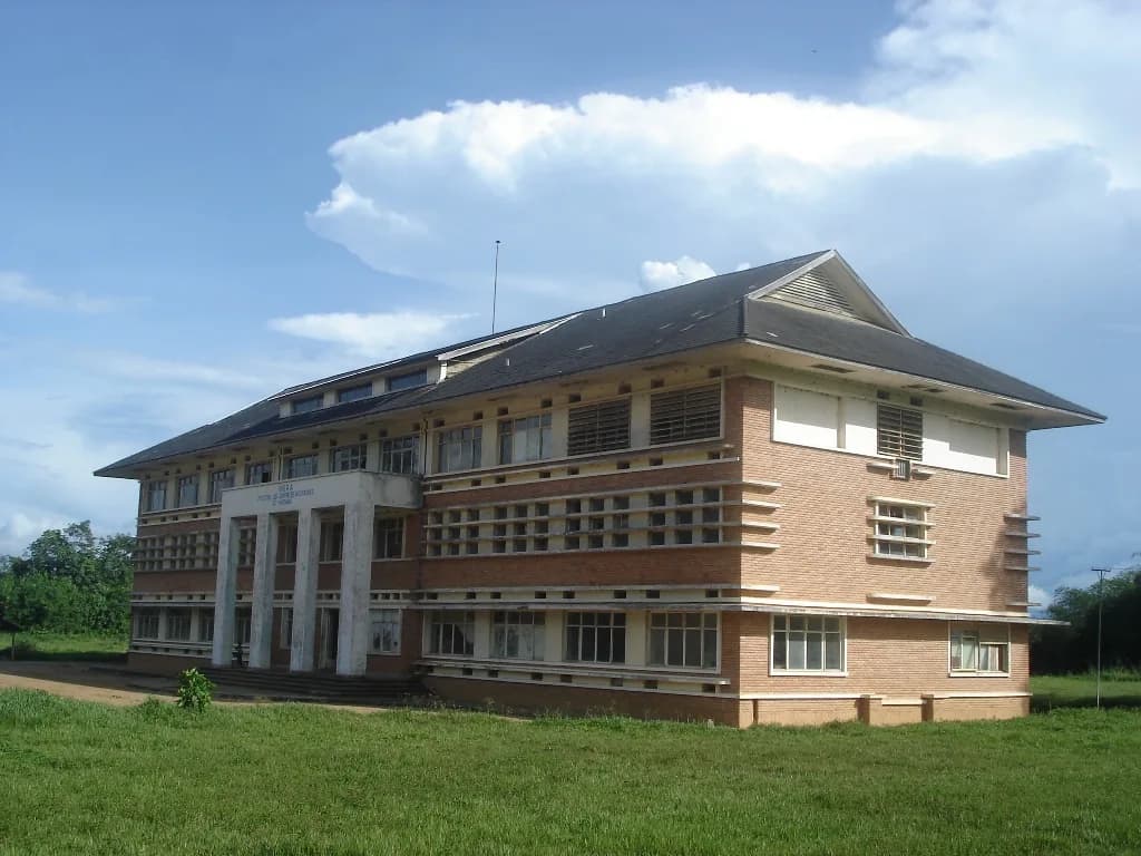
The records sat in the archive of INERA, the Congolese national agronomy institute, in Yangambi, with more in the State Archives of Belgium. In two field campaigns in 2023, PhD researcher Derrick Muheki and INERA staff, working with Ghent University, photographed monthly sheets from 37 stations.
The rescue was close to too late. According to Muheki, a fire had already destroyed some of the papers a few months before he arrived. "We could have lost decades of irreplaceable data," he said in the university's release.
The team then used MeteoSaver, open-source software built at VUB, to transcribe the scanned tables into spreadsheets. The resulting database runs from 1908 to 2023, but most records cover the 1960s to the 1990s, because the Congo wars interrupted observations after that.
What the numbers say
Across 21 stations with long enough records, the median warming rates were 0.22 °C per decade for daily maximum temperatures, 0.10 °C for minimums and 0.15 °C for daily averages. Over 1961 to 1990, that adds up to roughly 0.7 °C, 0.3 °C and 0.5 °C.
In counts, days hotter than the 95th percentile, about 33.3 °C at the maximum, rose from roughly 3 a year in the first decade to about 5 in the last. Cold days fell from about 7 to 5 a year. Stations with longer records show the warming continuing into the 2000s. The authors link the trend to global warming from fossil fuel emissions.
The limits the authors list
Rainfall is the weak part. Only three stations had enough data, and heavy downpours doubled at two of them, a result the authors say cannot be extended to the whole country.
The machine transcription was checked against manual copies at five stations, where 81% to 92% of values matched. The paper also notes gaps, possible instrument changes and local land use effects, and it left 225 hand-drawn sheets out of the automated process.
The full dataset is public on Zenodo, so other groups can now test the Congo Basin against climate models that, until now, had little ground truth to compare with.
Sources
- From paper to proof: revealing Congo Basin warming through rescued climate archivesEarth System Dynamicsprimary source
- Hot days become twice as common between 1960 and 1990 in the Congo BasinVrije Universiteit Brussel via EurekAlert!