NASA’s NISAR satellite turns a remote volcano eruption into a time-lapse
A NASA-ISRO radar satellite assembled 17 observations of Russia’s Krasheninnikov volcano into a view of how lava spread from late 2025 through mid-2026. The sequence shows what repeat satellite imaging can reveal, not a real-time eruption warning.
OddBrief EditorialAI-assisted, human-reviewed
 Science
Key facts
- Mission
- NASA-ISRO Synthetic Aperture Radar (NISAR)
- Location
- Krasheninnikov volcano, Kamchatka
- Sequence
- 17 radar frames, December 2025 to mid-August 2026
- Resolution
- About 10 meters per pixel
- Limit
- The imagery documents change; it does not forecast eruptions
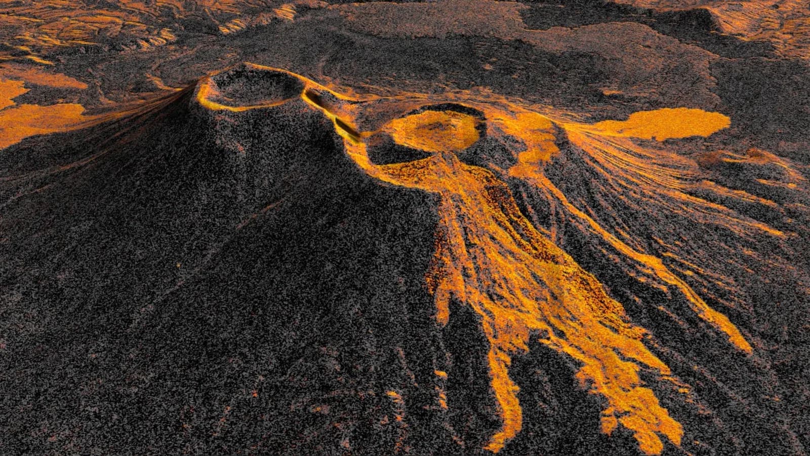
NASA and India’s space agency have used their NISAR radar satellite to turn a remote Russian volcano’s eruption into a time-lapse. NASA published the sequence on September 24, 2026, using 17 satellite observations acquired between December 2025 and mid-August 2026. It shows lava spreading from the northern crater of Krasheninnikov on the Kamchatka Peninsula. The work matters because repeat imaging can track changes at volcanoes that are difficult to observe from the ground.
A changing lava field
Krasheninnikov had been quiet since about 1550, according to NASA. The northern volcano began erupting in 2025 after a powerful offshore earthquake, although NASA describes the earthquake as an apparent trigger rather than proof of cause. NISAR made its first image of the site on December 25, 2025, while the satellite was completing checks after launch.
As the spacecraft returned, its images recorded lava filling an inner caldera, overflowing into a wider crater and expanding into a fan. The time-lapse also shows a flow to the northwest that may predate the satellite’s first observation. That is an interpretation of the images, not a precise date for when that branch formed.
NISAR revisits the location twice in a 12-day cycle, once in each observation direction. Researchers assembled 17 frames through mid-August for this sequence. Each pixel covers roughly a 10-by-10-meter patch of ground. Frequent, consistent observations make it easier to compare the shape of the lava field over time, even at a remote site.
Radar sees a different picture
The animation is not ordinary color photography. NISAR uses synthetic aperture radar, sending microwave pulses toward Earth and measuring the signals that return. Processing many measurements produces detailed surface images. In this view, lava appears brighter than nearby snow or bare ground because it reflects the radar signal differently. The colors and animation help people interpret the data; they are not a literal view through a camera.
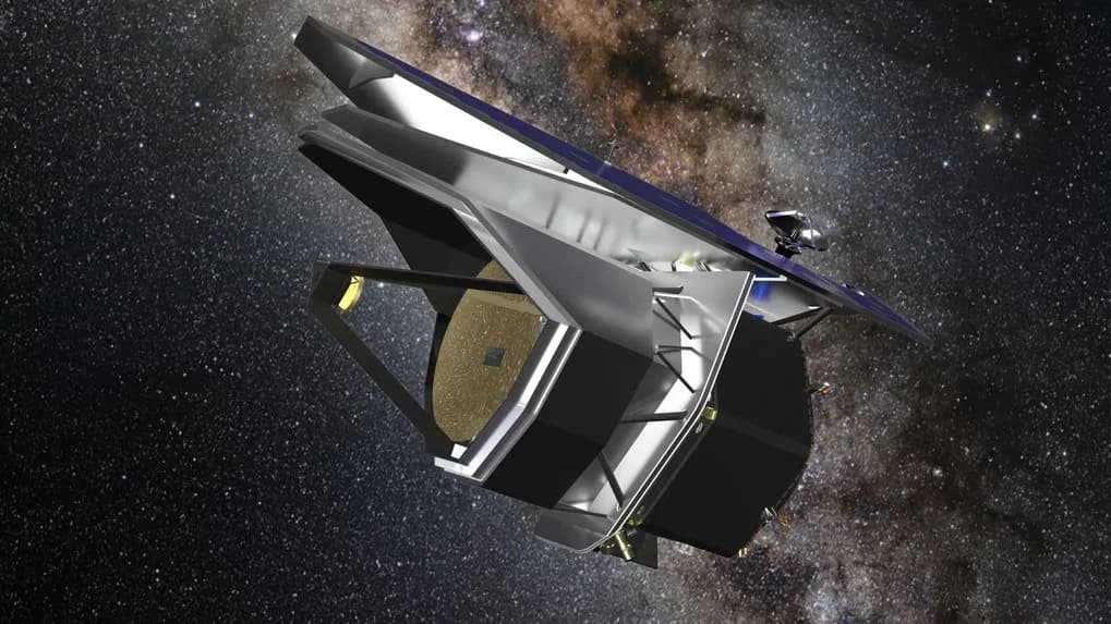
NISAR is a joint NASA-ISRO mission with two radar systems, using different wavelengths. NASA’s Jet Propulsion Laboratory leads the U.S. component and supplied the L-band radar and reflector, while ISRO supplied the spacecraft bus and S-band radar. NASA says its L-band products are available through the Alaska Satellite Facility data archive.
What the sequence can and cannot say
The case demonstrates how a satellite can document a changing hazard when ground access is difficult. NASA says the mission’s broad land coverage and repeated passes could support volcano research and, potentially, emergency response. The published sequence itself does not forecast the next eruption or replace local monitoring. It shows a measured landscape changing over months, with a cadence and resolution that make those changes visible.
Sources
- US-India Satellite Captures Time-lapse Video of Volcanic EruptionNASA / Jet Propulsion Laboratoryprimary source